Menu
What is an unfixed boundary of a land plot?
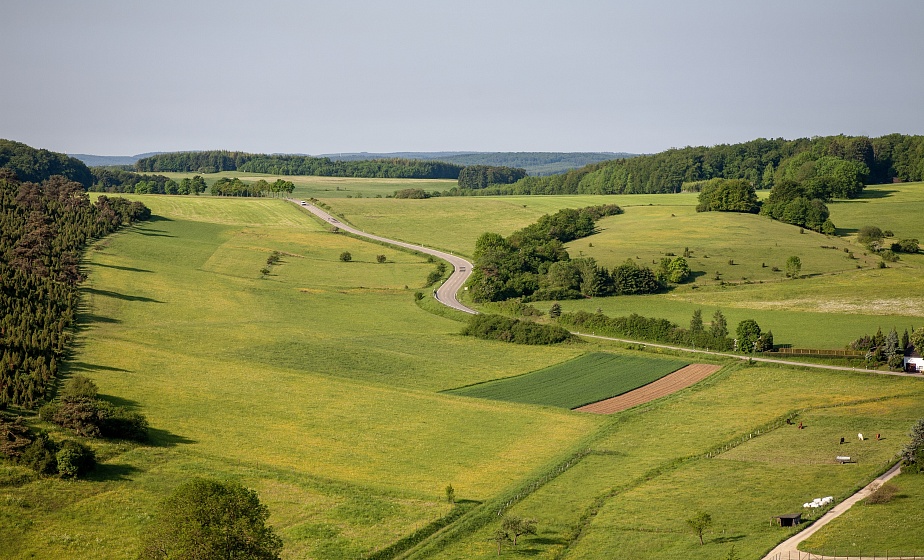
An unfixed boundary is applied exclusively to planning and cartographic materials.
What an unfixed boundary of a land plot means and how the work to establish it is carried out were explained by BELTA in the press service of the State Committee on Property.
As the agency reminded, the official boundary of a plot is a conditional line on the ground and a vertical plane passing through it that separates neighboring territories. The key difference of an unfixed boundary is that it is applied exclusively to planning and cartographic materials. Its coordinates are calculated from maps of a specific scale, and the turning points themselves are not marked by real survey markers.
To graphically establish such lines, specialists use a modern digital suite: land information system databases, a geportal, up-to-date orthophoto maps from remote sensing, and fresh aerial photography taken with drones.
The State Committee on Property drew landowners’ attention to an important legal nuance: the procedure for restoring unfixed boundaries is not provided for by law. If an owner wants to clearly mark his borders in reality, he must order a service to establish a fixed boundary. In that case, specialists will carry out classic geodetic work and fix the precise points of the plot directly on the ground.